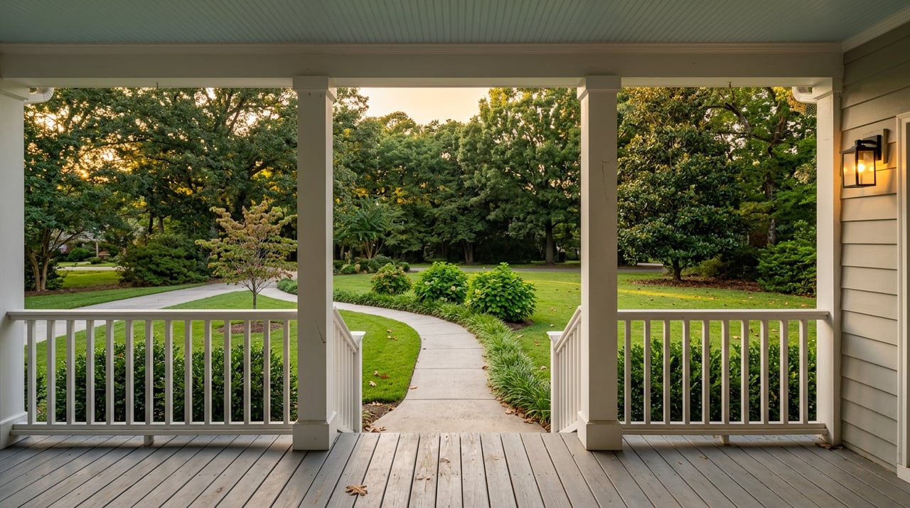
You do not sell acreage in Scott with pretty photos alone. Buyers want clarity about where the lines are, what they can build or plant, how to get utilities, and whether anything limits use. If you answer those questions up front with the right photos, video, and maps, you attract serious buyers and shorten due diligence. This guide shows you exactly which assets to create, how to prepare them, and how to package everything for MLS and social so your Scott property gets real attention. Let’s dive in.
What Scott acreage buyers need
Acreage buyers in Lonoke County scan listings for five things.
- Exact boundaries and access
- Usable land and topography
- Utilities and septic status
- Regulatory layers like flood or wetlands
- Clear visuals that tell the story quickly
Your marketing should deliver verified answers to each item above in a simple, buyer friendly way.
Core assets to prepare
Survey overlays
A survey overlay shows legal boundaries, acreage, road frontage, easements, and any improvements placed over an aerial photo. It helps buyers see where the lines are in the real world. Use a stamped or recorded survey, and include a north arrow, scale bar, and legend so viewers can trust what they see.
Soil notes and capability
Soil affects septic feasibility, drainage, foundations, and agricultural use. Summarize key points from an NRCS Web Soil Survey report in plain language. If you have lab tests or county health notes, include them. Call out any limits like high water table or shrink swell clay so buyers can plan costs.
Utility confirmations and access
Buyers want to know if electric, public water, gas, and telecom are available at the road or require extensions, and who maintains the access road. Get written confirmations from providers, septic permit history or county health records, and any private road agreements. Include who to call for new service and what is on site now.
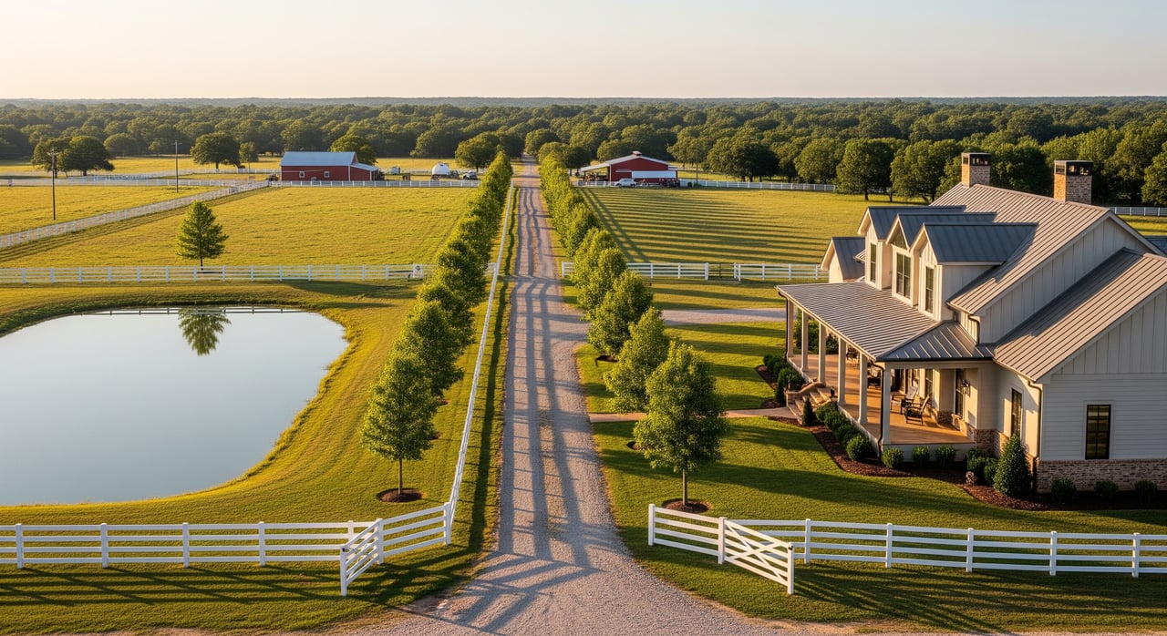
High contrast aerials and imagery
Clear aerials help buyers understand usable acres, timber, fields, and approaches. Capture a top down orthophoto for overlays, plus oblique angles that show access and terrain. Short drone video also adds context, especially when you label acres and key features.
Regulatory and environmental overlays
Provide simple map excerpts that show FEMA flood zones, potential wetlands, and any known conservation or recorded easements. Buyers care because these constraints affect use and financing.
How to obtain and verify
Surveys and overlays
- Retrieve the recorded survey or plat from the Lonoke County Recorder or Clerk.
- If none exists, order a boundary survey from a licensed Arkansas surveyor.
- Ask a surveyor or GIS technician to georeference the survey on an aerial and export a PDF and JPG with stamp, legend, scale, and north arrow.
- Cross check acreage against the deed and county assessor data, and note any discrepancies.
Soils and septic context
- Use USDA NRCS Web Soil Survey to create a soil map and interpretive report for septic, building, and crop suitability.
- Contact the local NRCS or county Extension for plain language guidance on pasture or crop use.
- For building or septic design, recommend on site perc testing or geotechnical borings by licensed professionals.
- Summarize limits in simple bullets so buyers do not have to decode technical tables.
Utilities and access
- Electric: confirm availability and nearest pole or transformer with Entergy Arkansas or the local provider.
- Water: check the Lonoke County Water Association or municipal district, or note if a private well serves the tract.
- Sewer: most rural parcels use septic. Confirm permit history and any installed drain field locations with the Lonoke County Health Department.
- Telecom: identify available providers and whether fiber or DSL is nearby.
- Access: verify if the access road is county maintained or private, and gather any private maintenance agreements.
- Document confirmations in writing when possible, then scan to PDF for the listing packet.
Aerials, drone, and topography
- Hire a Part 107 certified drone operator for commercial work, and get written owner permission for flights.
- Capture a high resolution orthomosaic for overlays, plus 4 to 8 oblique angles and a short 30 to 90 second video.
- Use a nadir straight down shot to show the parcel footprint.
- If slope matters, pull contours or hillshade from Arkansas GIS elevation data for a simple topo map.
Flood, wetlands, and environmental
- Create a FEMA flood map excerpt that shows the zone covering the property.
- Check the U.S. Fish and Wildlife Service National Wetlands Inventory for potential wetlands.
- If wetlands are likely, suggest a jurisdictional delineation by a qualified consultant.
- Note any recorded conservation easements or encumbrances from county records.
Documentation best practices
- Timestamp and author every technical file and add a short plain English summary.
- Preserve original stamped PDFs as master copies and create web optimized versions for MLS and social.
- Label any approximate maps clearly to avoid confusion.
Prep files for MLS and social
Photo order and specs
- Lead image: high impact aerial or cover photo that frames the property and surroundings.
- Next: survey overlay image with clear boundary lines.
- Then: oblique aerials, road frontage and gate, ponds or barns, and key ground features.
- File size: high resolution JPGs, 1600 to 3000 pixels on the long edge, within MLS limits.
Documents and video
- Upload PDFs of the stamped survey, utility letters, NRCS soil report, septic permits, and flood map excerpts in the MLS document area if allowed.
- If your MLS limits documents, host the full packet on your server and follow local rules for linking, or offer upon request in agent remarks if permitted.
- Add a 60 to 90 second video link in the virtual tour field, with a quick aerial intro, a boundary overlay frame, and callouts for acres and utilities.
Social formats and captions
- Instagram or Facebook carousel: use a cover aerial, then the boundary overlay, then ground features.
- Reels or TikTok: 15 to 60 seconds, vertical. Sequence aerial, overlay, utility or soil callouts, then a clear CTA.
- YouTube: 60 to 180 seconds for a property walk, or a 3 to 6 minute detailed acreage tour.
- Put the verified facts in the first two lines of the caption. Keep labels short and plain.
Accessibility and metadata
Name files descriptively, for example 2025-11-01_ScottAR_SurveyOverlay.jpg.
Add alt text that states what the viewer sees, such as “Aerial with boundary overlay showing 12.4 acres and northern pond.”
Burn in captions or add subtitles to videos since many viewers watch with sound off.
Scott acreage marketing checklist
Required items
- High impact cover aerial, 3000 by 2000 pixels preferred
- Survey overlay image, PDF plus web optimized JPG
- Ground photos of access and primary features, 1600 to 2000 pixels
- Short video walkthrough with drone intro, 60 to 90 seconds
- Confirmation of acreage and legal description
- Utility verification letters or notes for electric, water, septic status
- FEMA flood map excerpt and flood zone statement
- Basic NRCS soil map excerpt with a plain language summary
- Contact info and instructions to request the full packet
Highly recommended
- Full stamped boundary survey PDF
- Complete NRCS Web Soil Survey report PDF
- County assessor parcel map and tax data screenshot
- Simple LiDAR or slope map if terrain affects use
- NWI wetlands excerpt or note if near creeks or ponds
- Utility distance or extension cost estimate if available
- Road maintenance agreement or county confirmation
Optional but valuable
- Vegetation index imagery for farm buyers
- Hunting or recreation feature photos
- Farm history or crop yield summary if applicable
- Geotechnical report for development parcels
- Interactive parcel map for your website
File formats and naming
- Photos: JPG, sRGB, long edge 1600 to 3000 px
- Overlays and maps: PDF and JPG exports, preserve survey stamp
- Video: MP4 H.264, 1080p minimum for social
- Documents: searchable PDFs, source and date on page one
- Naming: YYYYMMDD_Property_FileType, for example 20251101_ScottAR_SoilMap.pdf
Compliance and local notes
Drone and MLS rules
- Commercial drone use must follow FAA Part 107 and Remote ID rules, and you should check for any local restrictions near Scott.
- Follow Central Arkansas or local MLS rules for document uploads, public remarks, and virtual tour links.
- Do not post private or confidential information, and never misrepresent boundaries or legal descriptions.
Privacy and labeling
- Get owner permission before flights or on site photography and avoid detailed shots of neighboring homes.
- Label approximate boundaries as approximate and provide recorded surveys where possible.
- Translate technical maps into simple bullets so buyers can scan quickly.
Next steps with Dunivan Real Estate
If you want more qualified showings and fewer surprise questions, build the packet buyers expect and present it clearly across MLS and social. I can help you gather surveys and confirmations, coordinate drone and mapping, and package everything into a clean, high trust listing that stands out in the Scott market. Ready to market your acreage with confidence? Reach out to Dunivan Real Estate to get started.
FAQs
What is a survey overlay for Scott acreage?
- It is a stamped boundary survey placed on top of an aerial photo that shows lines, easements, frontage, and improvements so buyers can see exact boundaries in context.
How do I confirm utilities in Lonoke County?
- Get written confirmations from the electric provider, the water district or well records, telecom providers, and the county for road maintenance and any septic permit history.
Do I need soil tests before listing my land?
- A basic NRCS soil map and summary is expected, and if buyers plan to build or install a septic system, on site perc tests by licensed pros add confidence and speed decisions.
What drone video length works best for acreage?
- Keep the main video 60 to 90 seconds with a fast aerial intro, a boundary overlay frame, and callouts for acres and utilities, then link a longer tour on YouTube if needed.
How do I show flood risk without scaring buyers?
- Include a FEMA flood map excerpt and a simple note of the zone, then explain how the zone affects use or insurance so buyers have facts rather than guesses.
What photo order should I use on MLS?
- Start with a high impact aerial, then the survey overlay, followed by oblique aerials, access and frontage shots, key features like ponds or barns, and end with map excerpts.